
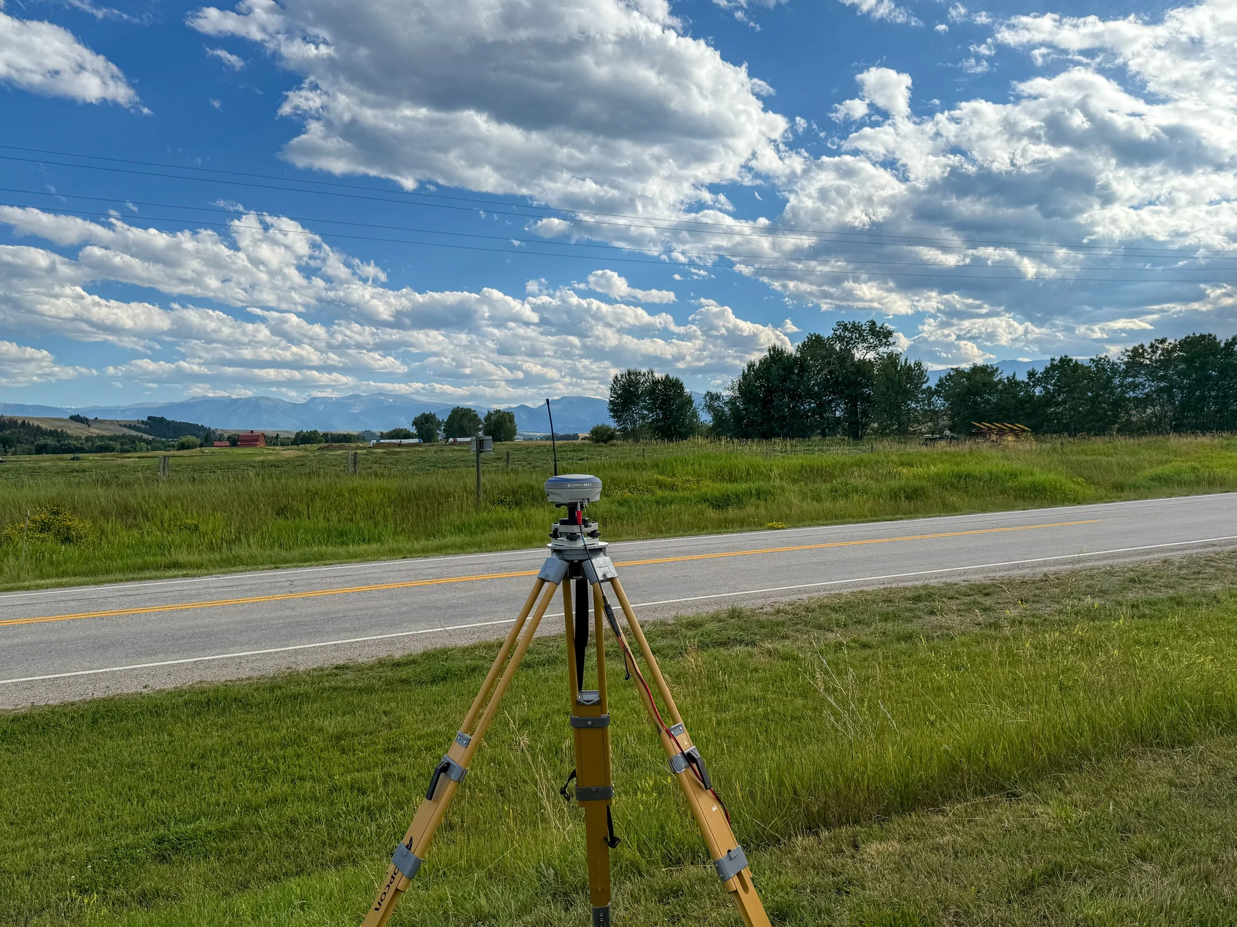
Montana Services
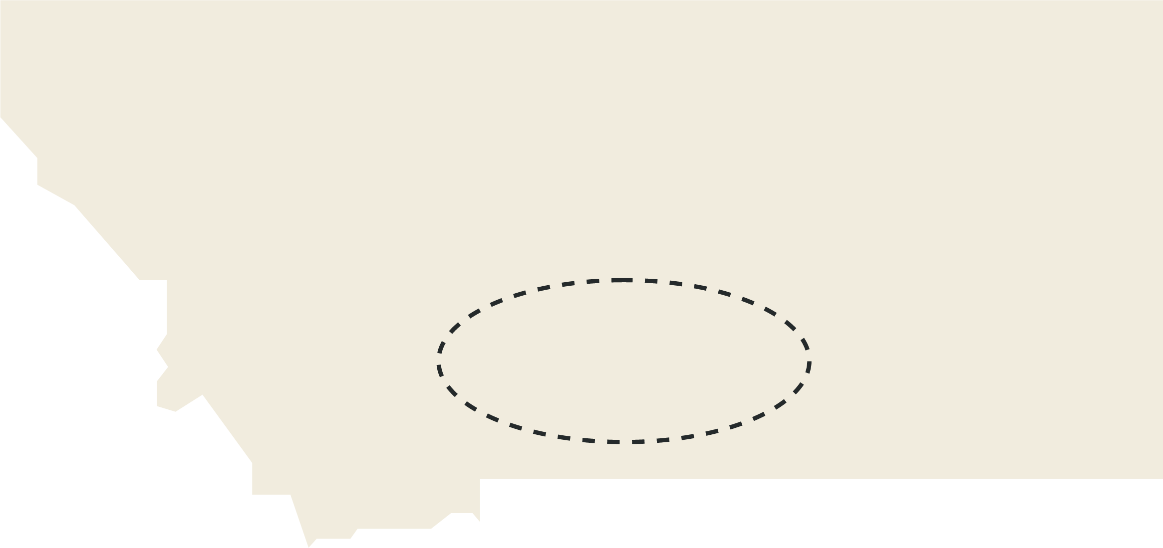
Extending from our foundation in Arizona, we provide survey services throughout the greater Billings–Bozeman region of Montana.
Services We Offer
-
We provide surveying support for minor subdivisions, including boundary analysis, existing conditions mapping, subdivision layout, plat preparation, legal descriptions, and coordination with local review authorities. Our goal is to help landowners and developers move through the subdivision process with clear, accurate survey documents that support planning, review, approval, and recording.
-
Montana law allows certain divisions of land to be exempt from full subdivision review under the Montana Subdivision and Platting Act, including some family transfers, boundary line relocations, agricultural-use divisions, and lot aggregations. These exemptions can still require a certificate of survey, review for proper use of the exemption, and compliance with applicable zoning and local requirements, so we help clients document the land division correctly and avoid creating unintended title or compliance issues.
-
We work with rural landowners, ranchers, buyers, sellers, brokers, and attorneys to survey larger acreage properties where boundaries may be based on section lines, aliquot parts, historic deeds, fences, roads, water features, and longstanding occupation lines. These surveys are often used for property purchases, fencing, access planning, land management, boundary clarification, and family or estate planning.
-
We provide survey support for conservation easements, access easements, utility corridors, road rights-of-way, and other property interests affecting Montana lands. This work may include boundary retracement, easement exhibits, legal descriptions, right-of-way mapping, and coordination with landowners, attorneys, title companies, agencies, and conservation organizations.
-
ALTA/NSPS Land Title Surveys are detailed surveys typically required for commercial real estate transactions, financing, title review, and development due diligence. These surveys identify boundary lines, easements, rights-of-way, improvements, access, encroachments, utilities, and other matters affecting the property.
-
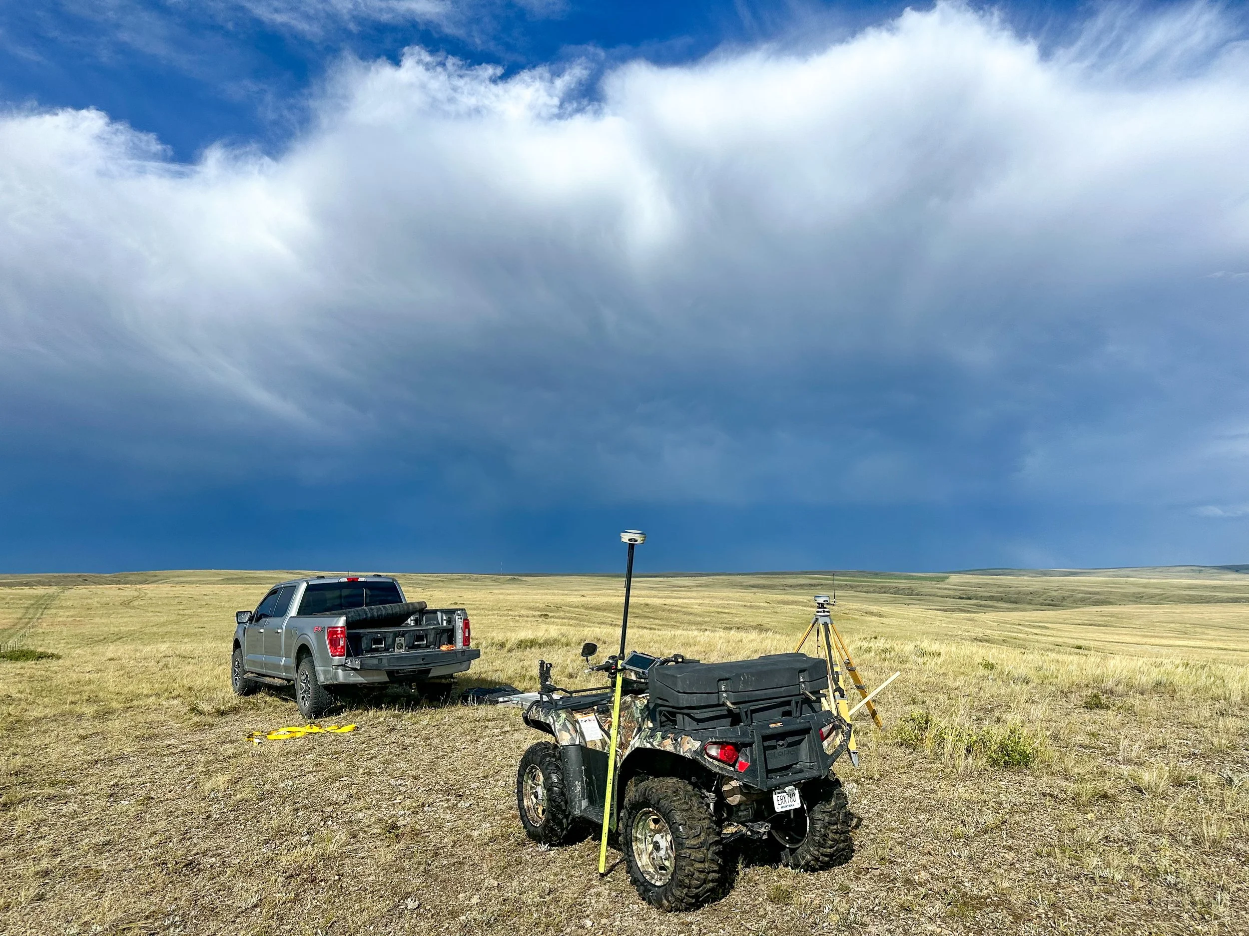
Topographic surveys collect the existing ground elevations, improvements, utilities, drainage features, and other site conditions needed for engineering design, planning, and permitting. We also provide UAV aerial surveying where appropriate, allowing efficient collection of high-resolution imagery, surface data, contours, and mapping for larger or more complex sites.

Request Survey
Thank you for your interest in working with us in Montana. Please provide as much information as possible– including GeoCode, address, and the type of survey or reason for the survey. We’ll get back to you with an accurate time and cost estimate. We’re excited to work with you.