
LiDAR Services
Proudly offering full service utility designs

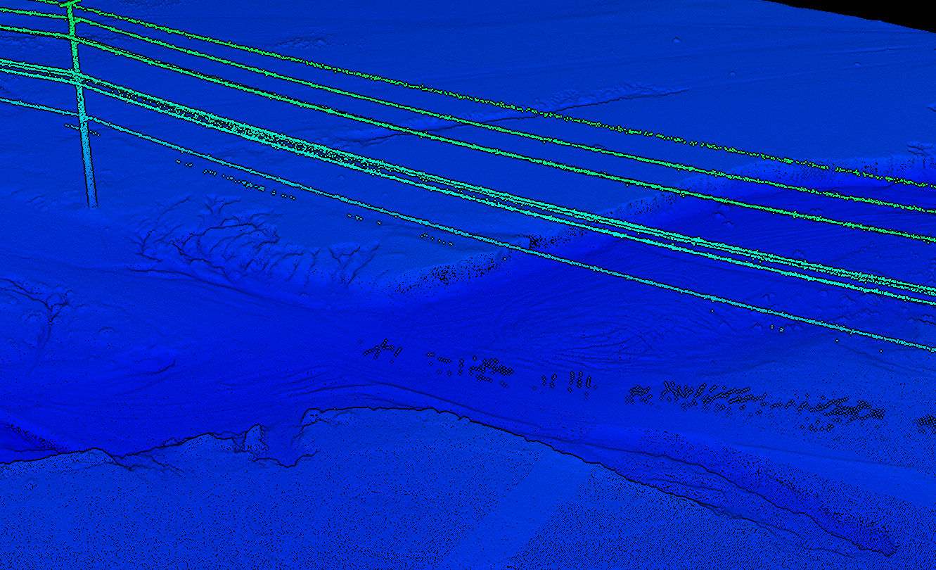
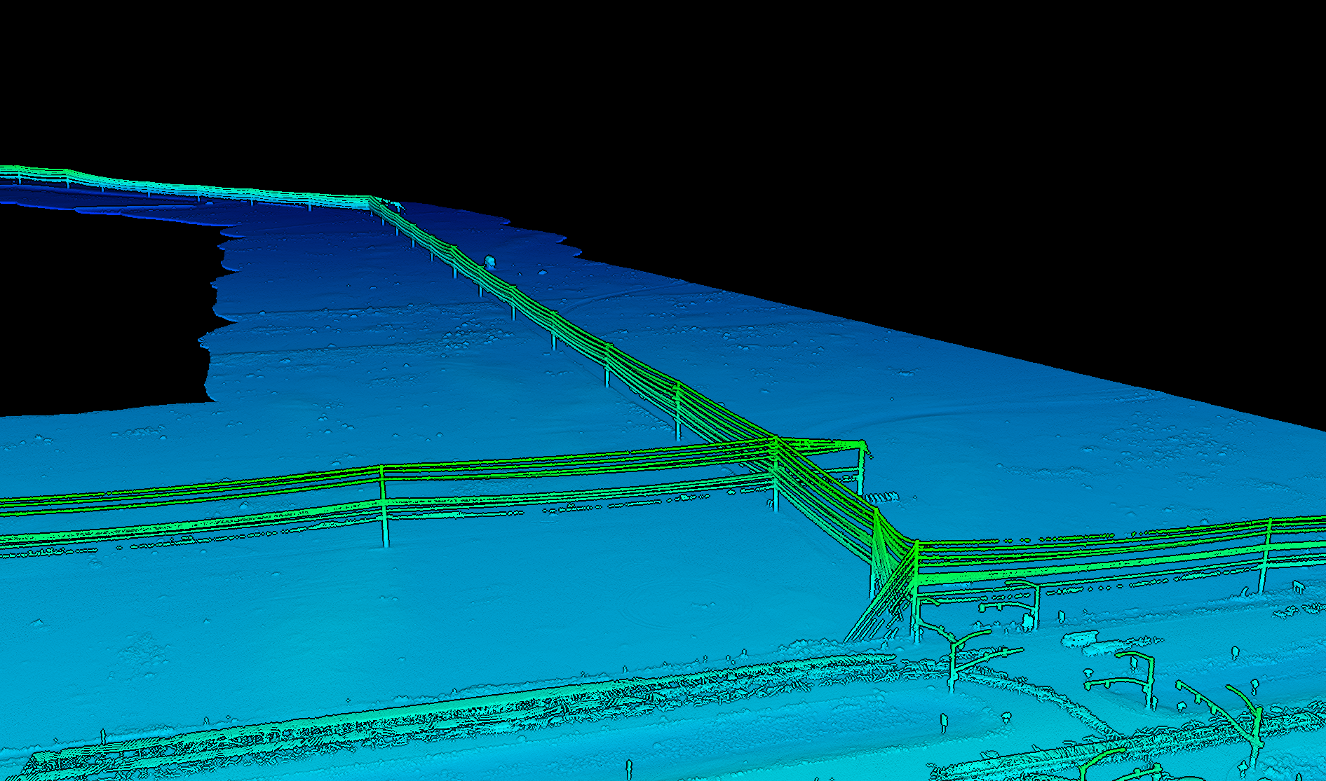
Abundance Land Services is proud to provide aerial LiDAR services, uniquely equipping us to partner with you on utility transmission surveys, large heavily vegetated areas, and other specialty projects. While traditional topographic surveys remain an essential part of land surveying, our LiDAR capabilities allow us to efficiently capture detailed 3D data across large and challenging areas. We deliver classified point clouds and other survey data prepared for PLS-CAD and utility design workflows. Whether you’re surveying 10 miles of high-voltage transmission corridor or tackling another specialty project, we’re excited to partner with you.

Request Survey
Thank you for your interest in working with us. Please provide as much information as possible– including Assessor Parcel Number (APN), address, and the type of survey or reason for the survey. We’ll get back to you with an accurate time and cost estimate. We’re excited to work with you.